
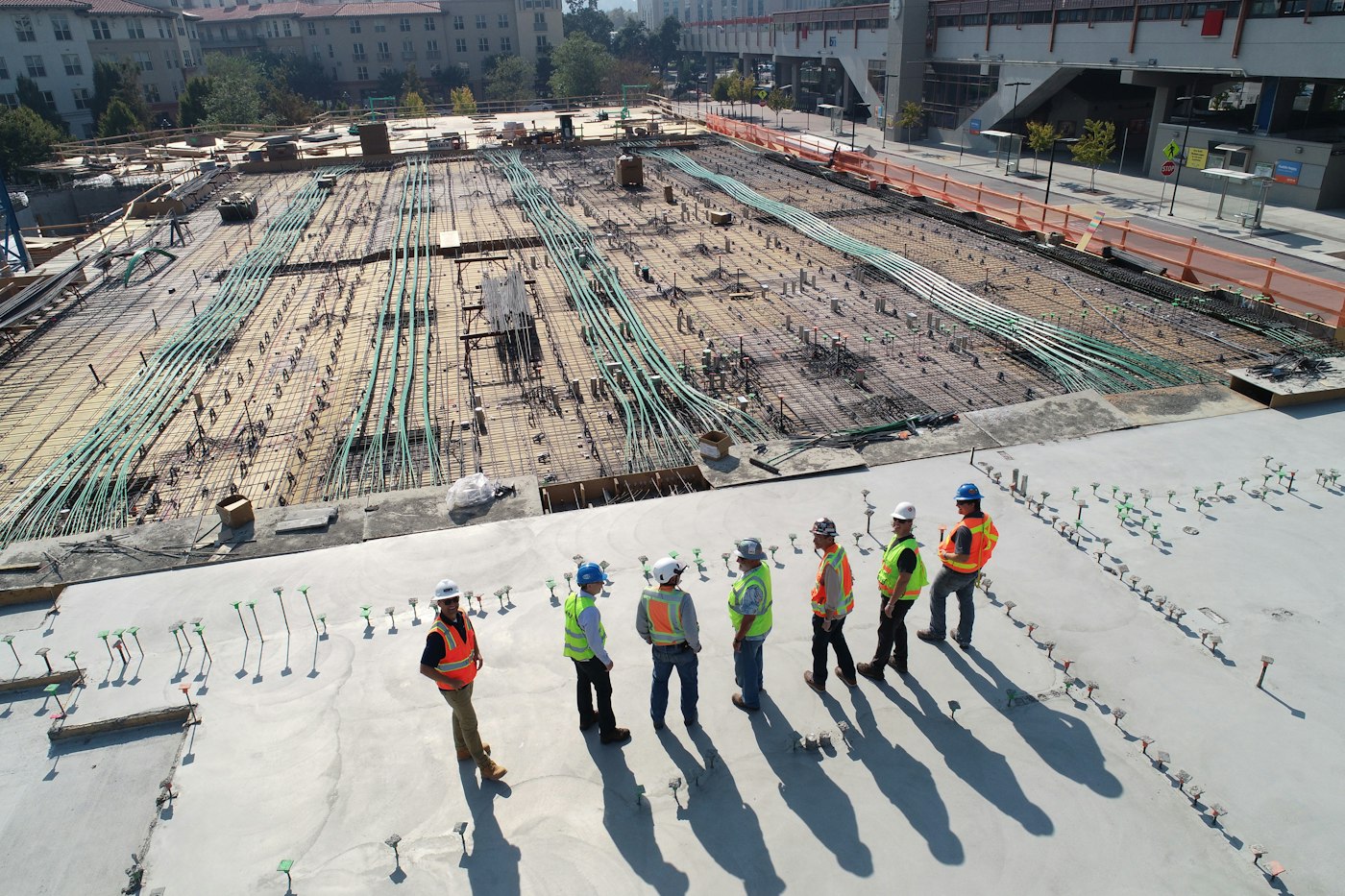
Boundary Survey London: Millimetre-Accurate Site and Boundary Surveys
Boundary surveys and measured site surveys carried out with a Leica TS13 robotic total station for residential and commercial properties across London and the South East. Millimetre-accurate boundary line determination, topographical surveys for planning and design, level surveys, movement monitoring, and survey drawings issued in PDF and DWG, coordinated with the structural and civil engineering design.
Who This Service Is For
Homeowners and developers involved in a boundary dispute or preparing a planning application, architects who need accurate site survey data to support a design, and property managers monitoring movement in existing buildings. If you need a reliable, millimetre-accurate record of a boundary line, site levels or building movement, this is the service.
Boundary Surveys with a Leica TS13 Robotic Total Station
We carry out boundary and measured site surveys using a Leica TS13 robotic total station, an instrument-grade survey device capable of millimetre-accurate measurement. The robotic total station is operated by a single surveyor, reducing time on site while maintaining accuracy. Measurements are taken to permanent reference points so that the survey can be reliably reproduced and tied into Ordnance Survey coordinates where required.
Millimetre-Accurate Boundary Line Determination
Boundary disputes often turn on the precise position of a line relative to physical features. We determine the boundary line from the registered title, the physical features on site, and the measured survey data, and plot it to millimetre accuracy on a scaled drawing. The output can be used to resolve a dispute, support a Land Registry determined boundary application, or establish the buildable extent of a plot before works begin.
Topographical Surveys for Planning and Design
A topographical survey records the existing site, including levels, features, trees, services and boundaries, as a base for planning and design. We produce topographical surveys coordinated with our structural and civil engineering design, so that the design team works from an accurate, consistent site model rather than a set of assumptions that have to be corrected later.
Level Surveys and Movement Monitoring
Where a structure is suspected of moving, or where neighbouring works could affect a property, a level and movement monitoring survey provides the objective data needed to diagnose the issue or protect a position. We establish monitoring points, take repeat readings to the required accuracy, and report movement against baseline measurements in a clear, dated format that can be used as evidence if required.
Survey Drawings Issued in PDF and DWG
All survey drawings are issued in both PDF and DWG formats, scaled and layered, so that your architect, engineer and planning consultant can each use the data in their preferred software. Drawings are delivered digitally and can be coordinated with the wider project information, including the structural and civil engineering design.
Civil Engineering and Planning Support
Civil engineering design (drainage, SuDS, retaining walls and external works) and planning application support are available alongside this service, so the survey data feeds directly into the planning and design process under a single appointment.
Deliverables You Receive
Our scope is defined before we begin. You will receive the following, unless a different scope is agreed in writing:
Frequently Asked Questions
Areas We Serve
We provide this service across London and the South East, including Bromley, Lewisham, Greenwich, South East London, Southwark, Wandsworth, with additional coverage in Milton Keynes, Northampton and Manchester. For a full list of areas, see our structural engineering service locations.
Indicative fees shown. Final fees depend on scope, access, and complexity. We provide a fixed-fee proposal before commencing work.
All services — indicative fees
Areas we cover
Call or email for a direct conversation about your structural or civil engineering project.
0330 043 8378hello@dvceng.comNeed a Boundary Survey in London?
Share the site address and what you need the survey for. We'll confirm the scope, the accuracy and a fixed-fee proposal.
Apply this guidance to your local project
Building details and site conditions—not the postcode alone—determine the design. Explore our regional coverage for local project considerations; inspections, investigations and travel are agreed within the proposal.
Browse all engineering locations